Vaisala Road Condition
Vaisala Oyj

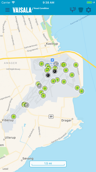
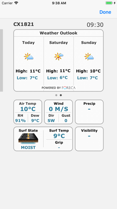
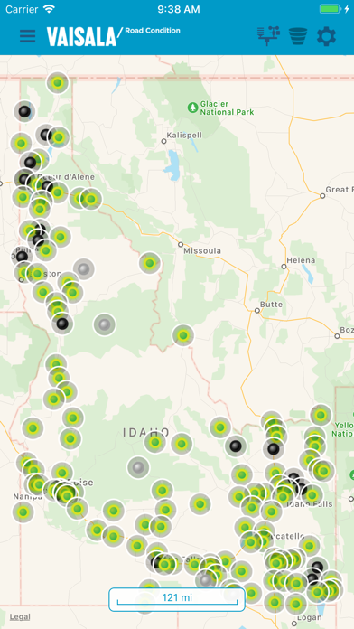
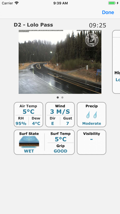
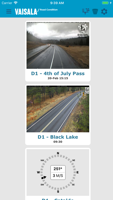
Vaisala RoadDSS Road Condition displays weather and surface observations from Road Weather Information Systems (RWIS) connected to the Vaisala RoadDSS Data Service. Users have access to the following: - Atmospheric and Surface observations from Road Weather Stations (RWS) presented via a GIS based map - RWIS locations color-coded on the map based on surface conditions or surface temperatures - Camera images from Road Weather Stations - Weather observations reported from airports (METARs) - Historical graphs displaying air temperatures, dew point temperatures, and surface temperatures for the last 24-hours for all RWIS locations. - The proximity of lightning to Road Weather Stations; powered by Vaisala's North American Lightning Detection Network (NALDN) and Vaisala's Global Lightning Dataset (GLD360) - Weather Radar data and animation - A user’s current location can be displayed on the map - Drive Mode allows a user to auto-pan the map keeping the user’s current location centered on the display - Push notifications informing users of winter surface conditions - Data filtering based on selected observation criteria - Weather Outlook forecasts providing the forecasted high and low air temperature along with a weather summary icon covering each of the next three days for each RWIS and METAR location - On demand data refresh The app works in conjunction with the Vaisala RoadDSS Data Service.
Screenshots