PeakTrace Altimeter
云燕 陈

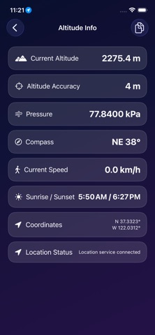
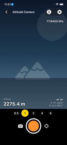
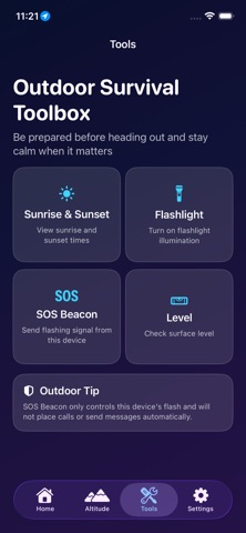
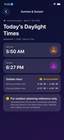
PeakTrace Altimeter is an offline outdoor utility for hiking, climbing, travel, and location-based photography. No account is required, there are no ads or in-app purchases, and core measurement data stays on your device by default. The app combines GPS and onboard sensors to show live altitude, coordinates, heading, pressure, altitude accuracy, and speed in a quick dashboard. You can also use the altitude camera to place altitude, coordinates, heading, and time directly on photos for clean outdoor records and travel check-ins. Key features: - Live altitude dashboard with altitude, accuracy, speed, and location status - GPS coordinates, compass heading, and pressure details in one place - Altitude camera with watermark overlays for altitude, coordinates, pressure, and heading - Unit switching for meters or feet, coordinate formats, and pressure units - Outdoor toolbox with sunrise, sunset, golden hour, flashlight, SOS beacon, and level - Offline-first design for mountain, trail, and no-network situations PeakTrace works well for hikers checking elevation on the trail, travelers recording where they are, and photographers who want location data embedded in their shots. Related Agreements: - Terms of Service: https://tap.starbay.me/api_v1/agreement - Privacy Policy: https://tap.starbay.me/api_v1/privacy - End User License Agreement: https://www.apple.com/legal/internet-services/itunes/dev/stdeula/
Screenshots