NAVIGATOR GIS
Raj Kumaar

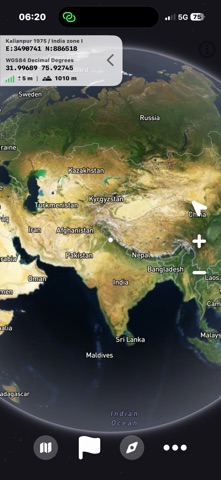
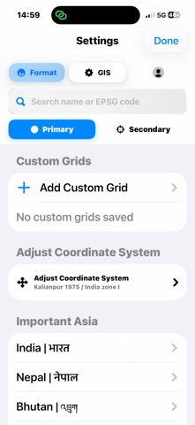
NAVIGATOR is a powerful GIS, GPS and coordinate conversion tool designed for surveyors, engineers, GIS professionals, students, field users and personnel who work with coordinates, mapping and navigation in demanding environments. Key Features: • Works offline for supported tools • No account creation or login required • Live GPS position and coordinate display • Coordinate system conversion and transformation • Support for multiple coordinate reference systems (CRS) • GIS and mapping tools • Latitude, Longitude and UTM conversion • Surveying and geospatial utilities • High-accuracy location display • Fast and reliable coordinate calculations • User-friendly interface designed for field operations NAVIGATOR is suitable for surveying, engineering, outdoor navigation, GIS workflows, training purposes and professional users who rely on accurate coordinate information, including field teams and defense-related personnel. Terms of Use (EULA): https://www.apple.com/legal/internet-services/itunes/dev/stdeula/ https://sites.google.com/view/navigatior-gis-privacy-policy/home
Screenshots