FlightSpace
Dmytro Yefimov

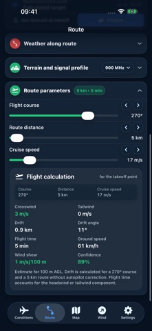
FlightSpace is a professional UAV flight planning tool. It combines altitude-specific weather forecasts, route analysis, terrain profiles, and key preflight risk assessment in one app. Key capabilities: - wind and gusts at multiple altitudes; - temperature, humidity, and dew point; - cloud cover, estimated cloud base, precipitation, and visibility; - wind and weather maps; - weather analysis along a route; - terrain profile, line of sight, and Fresnel zone; - azimuth, distance measurement, and map points; - risk assessment using operator-defined aircraft thresholds; - suitable weather-window detection; - Ukrainian, English, Polish, German, French, and Spanish localization, with light and dark themes. FlightSpace turns complex forecast data into a clear assessment so operators can identify critical factors and make informed decisions before takeoff. Important: FlightSpace is a planning aid. It does not replace preflight checks, actual observations, official regulations, or operator judgment. Forecasts, digital terrain models, and radio calculations contain uncertainty and may not include local obstacles, interference, or rapid atmospheric changes. Terms of Use (Apple Standard EULA): https://www.apple.com/legal/internet-services/itunes/dev/stdeula/ Apple Watch: view the latest forecast, temperature and wind at your working altitude on your wrist. Enable sharing in FlightSpace Settings on iPhone. The watch displays the latest data received from the paired iPhone.
Screenshots