Minestech
DIGITAL PULSE LLC

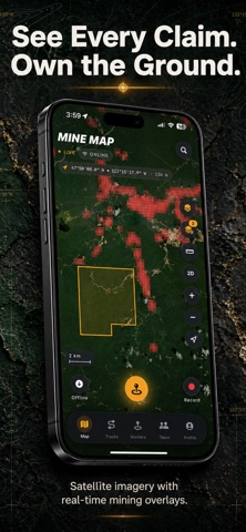
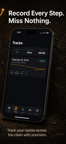
MinesTech turns a photo of a coordinate table into a mapped claim in seconds. Whether it's a modern concession PDF or a decades-old Dutch Noorderbreedte/Westerlengte scan, we handle the messy parts — DMS vs decimal, comma decimals, swapped lat/lng columns, UTM grids — so you spend your time prospecting, not retyping numbers. WHAT IT DOES • Photo → pins, in 5 seconds. Point your camera at any coordinate table and the AI reads every corner. Edit anything that looks off before saving. • Auto-corrects regional quirks. Old Suriname docs often print Lat and Lng in the wrong columns. We detect the document's origin and fix it automatically — with a clear banner so you can revert if we got it wrong. • Save as markers or a claim polygon. Area, perimeter, and corner count computed for you. • Works offline. Cached satellite tiles, local GPS, no signal needed once you're in the bush. • Share in one tap. QR code for the guy standing next to you, iCloud sync for your team. • Exports to KML and GPX so your data is never locked in. WHO IT'S FOR Small-scale miners, concession holders, field geologists, and land surveyors who live in a truck and don't have time to punch 48 DMS values into a map app. PRIVACY Your photos and coordinates stay on your device or in your personal iCloud. We don't run ad networks or sell data. Keywords (100 char max, comma-separated) mining,claim,gps,gold,prospecting,surveyor,coordinates,ocr,offline map,suriname,concession,kml,gpx What's New(这次更新的亮点) New in this version: • Auto-detects Dutch Suriname mining documents and fixes swapped Lat/Lng columns automatically — no more claims landing in Scotland. • Clearer warnings when the photo's coordinates look off. • Faster review screen on long coordinate lists. Terms of Use: https://www.apple.com/legal/internet-services/itunes/dev/stdeula/
Screenshots