GPS Altitude Measurement
紫荣 雷

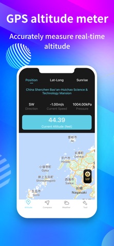
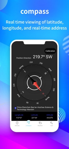
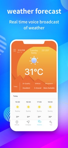
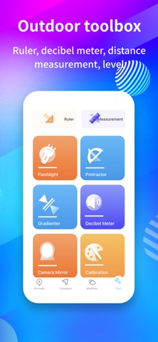
An altitude measuring instrument with accurate GPS positioning function, which can obtain real-time information such as altitude, GPS position, air pressure, latitude and longitude coordinates of the current location. It has a built-in compass function and is practical for altitude measurement applications [Featured Features] 1. Altimeter: Real time measurement of altitude, accurate measurement of altitude and latitude and longitude of the location without the need for a network; 2. Compass: Built in compass function, allowing you to quickly obtain the direction and latitude and longitude information of your location; 3. Map navigation: supports the function of viewing maps, displaying the coordinates and altitude information of the current location on the map; 4. GPS positioning: GPS real-time positioning makes altitude measurement information faster and more accurate; 5. Outdoor toolbox: includes rich functions such as ruler, noise detector, distance measurement, level, etc; Privacy Policy: https://b0lld4o2sbq.feishu.cn/wiki/UIBywtJUUiiIFYkvx1zcWofdnpf?from=from_copylink User Agreement: https://b0lld4o2sbq.feishu.cn/wiki/P2x5w7Lffit4J0kSZZGcUIIQnGf?from=from_copylink
Screenshots