Zaragoza Routes
Ayuntamiento de Zaragoza

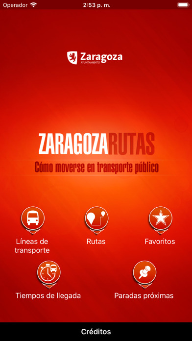
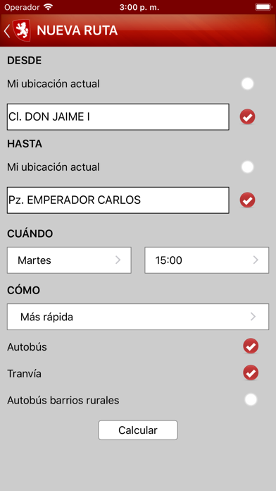
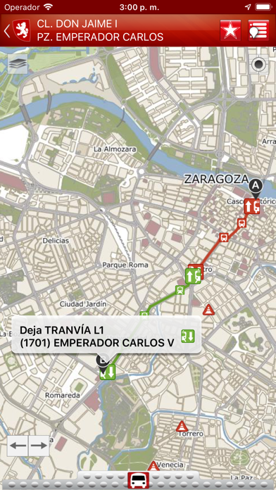
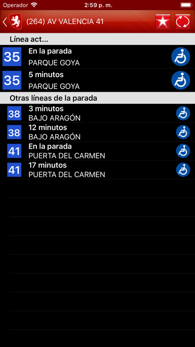
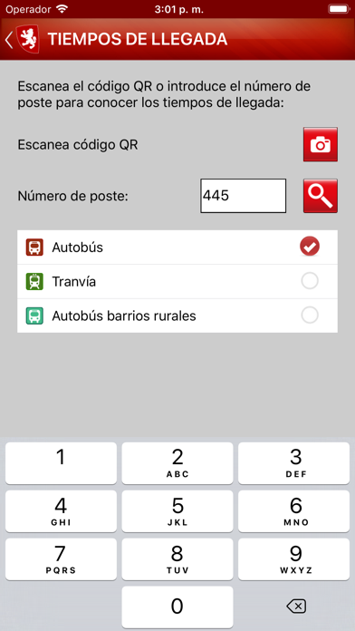
Zaragoza City Council official application to calculate the best route to move inside the city using public transport. It allows citizens to plan their trips in Zaragoza on real time calculating personalized itineraries in function of their preferences regarding to the use of tramway and/ or bus (including buses to rural neighbourhood), specific time and day of the week, etc.; always employing official and updated information. In this way, journey duration will be minimized and public urban transport mobility improved. Other remarkable functionalities: - Interactive map with access to all disposable information in a detailed and usable way. - Transport network: visualization on a map of the whole network of public transport. - Detailed route report including trips on foot. - Arrival time: access to estimation of arrival times to each stop. - Favourites: possibility of saving favourite routes and stops to facilitate access to information. Information provided by Zaragoza City Council (http://www.zaragoza.es). Developed by GeoSLab (http://www.geoslab.com). If you want to make any suggestion or contribution, please use the Service of Complaints and Suggestions (https://www.zaragoza.es/ciudad/ticketing/verNuevaQuejaAnonima_Ticketing) offered by Zaragoza City Council.
Screenshots