iGPSGIS II
CORVALLIS MICROTECHNOLOGY, INC.

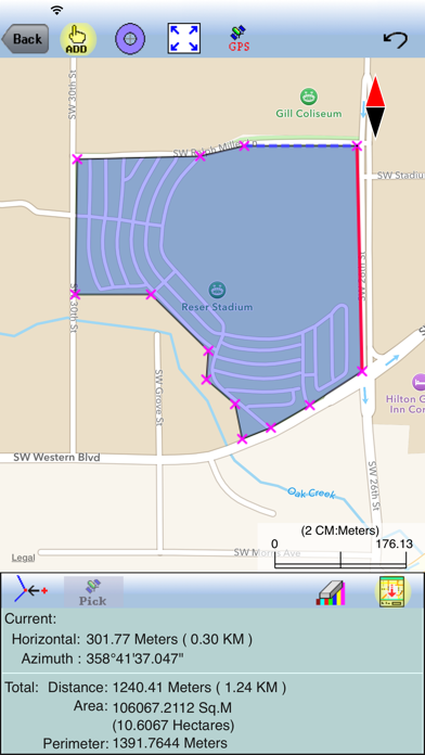
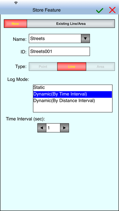
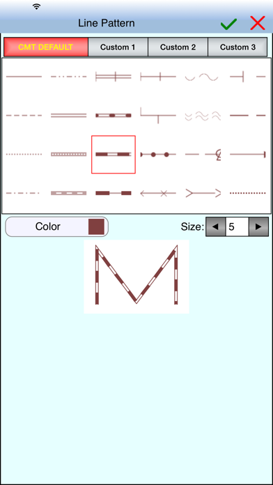
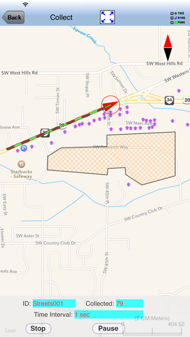
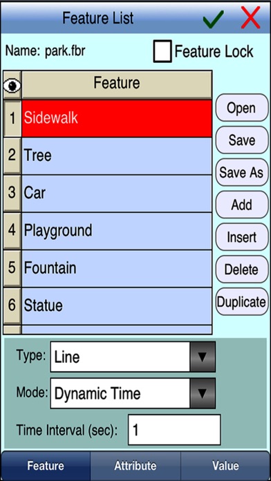
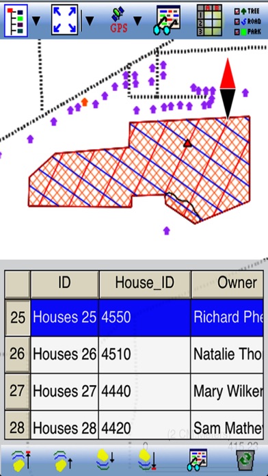
A powerful GPS/GIS mapping app to record Points, Lines and Areas with descriptions. When GPS is unavailable, you could digitize Features on top of a background map, or create points by entering angles and distances. View distances and areas on the spot. Record your track. Organize data in Topic layers showing colorful symbols and text labels. Easily import/export shapefiles, send/receive files via ftp or email, and store files in the cloud. Effectively collect data and increase productivity for utilities, natural resources, land management, archeology and other applications. This app can re-orient the CMTINC .pim background map so your direction of motion will point up on the screen while you are moving. Please note: Location data depends on the GPS receiver used. Also, continued use of GPS running in the background can dramatically decrease battery life. iGPSGIS II will let you easily toggle the built-in GPS on or off. This app comes with a built-in help file.
Screenshots