AGRIplot
SharpeTech

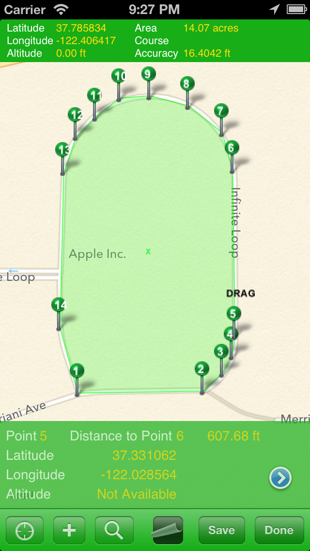
AGRIplot allows you to plot any area on a map. Simply walk around your property and add a landmark point, or drag and drop pins anywhere on the map. AGRIplot will automatically calculate the area enclosed by the points and provide the distances between each point. Interest points allow you to identify additional features for your plot. You can even take pictures associated with each landmark or interest point for a visual representation. Share your plot with the option to email a PDF or KML version of the plot information. Now supports importing KML files. Email questions or feedback to support@sharpetech.net.
Developer website
https://apps.apple.com/us/developer/sharpetech/id433796803?uo=4Released
2011-05-02T22:28:14Z
Current version
3.0.5
Screenshots