GIS Kit
Garafa, LLC

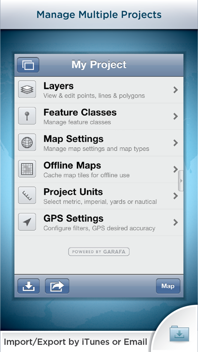
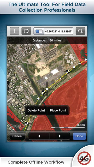
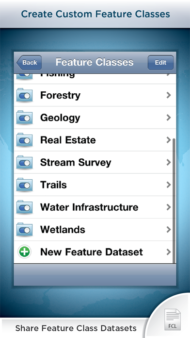
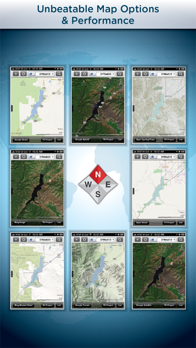
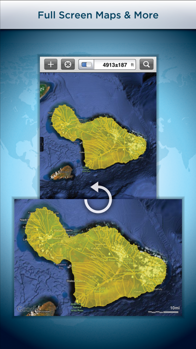
Premier field collection and data viewer for iPhone and iPad. - No desktop GIS software required. - No prior GIS training required. - Completely offline capable. - Cache (download) open source topographic maps, street maps and satellite imagery straight from device. - Import ESRI Shapefiles and KML/KMZ files including attributes. - Attribute fields include: Alphanumeric (Description), Photos, numerical values, user defined list of values, addresses, websites, date & time, telephone number, check box. - Easily collect new point, line, and polygon features in the field by GPS or drawing manually. - Enter attribute values for each feature and/or add new attribute types at time of collection. - Create templates of user defined feature classes with custom attributes. - Comes loaded with numerous example feature templates for professional use in Forestry, Wetland Delineation, Stream Surveys, and Real Estate. - Import and export data wirelessly by email. Larger data sets can be imported/exported by connecting to any computer with itunes. - Organize by projects and layers - Best-in-class performance. Check our website to see videos, documentation and more information about the "Pro" version. Please note that all the features of the GIS Pro version (such as Shapefile export) are available through in-app purchase in this app as well. For Businesses: Please note that a separate license is required for each user or each device that is used by multiple users. See http://www.apple.com/legal/itunes/us/terms.html for details. Also see http://www.apple.com/business/vpp for information on purchasing in volume. Continued use of GPS running in the background can dramatically decrease battery life.
Screenshots