GPS Waypoints Lite
Bluecover Technologies Lda

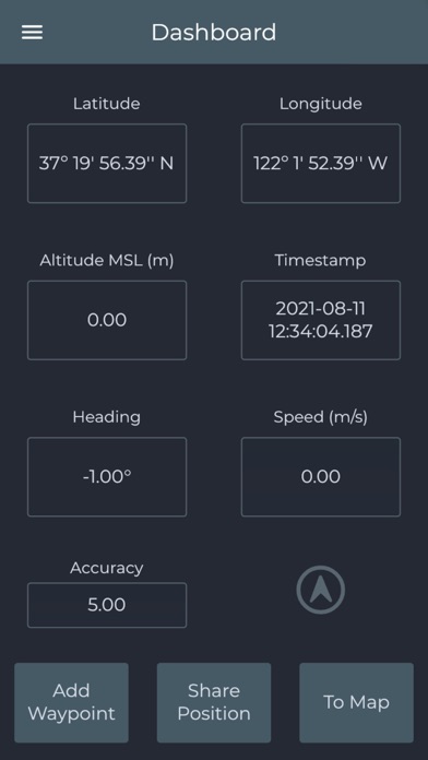
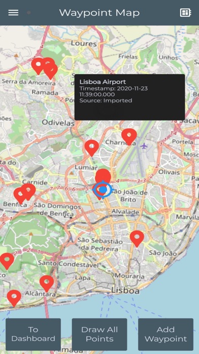
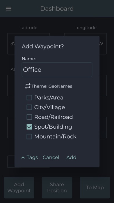
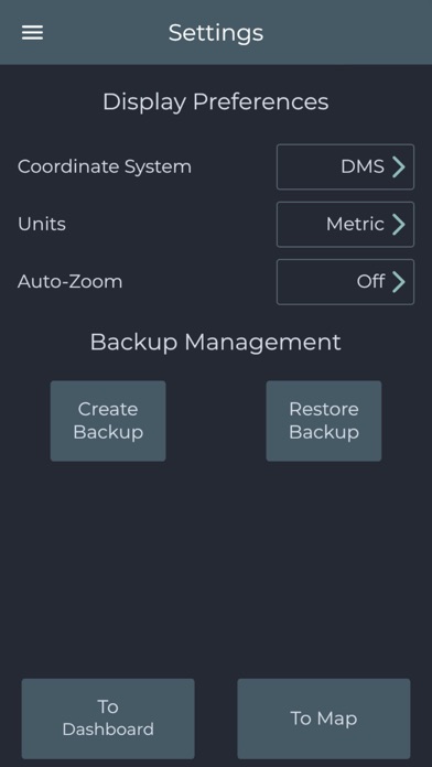
GPS Waypoints Lite is a surveying application for iOS devices that enables smartphones' users to collect, classify and export Points and Paths to become map creators. This multi-purpose solution, with an easy-to-use interface, is adequate for professional activities (earth sciences surveying, infrastructure monitoring, forest, agriculture, etc...) and personal activities (outdoor and tourism). The GPS Wpts Lite includes the following features: - View current position with accuracy and navigation information; - Create Points and Paths with accuracy information and custom Tags classification; - Get directions and distances from current position to existing Points using the magnetic or gps compass; - Import Points from CSV, KML, GPX and Geojson files using geographic coordinates (Lat, Long in wgs84); - Export Points to CSV, KML, GPX and Geojson files by saving data locally or sharing with other applications (e.g. Mail, iCloud/Google Drive); - Create Paths manually and automatically for producing tracks, routes or polygons; - Create and use survey's Themes with custom Tags for classifying Points and Paths; - View Geodata (Points and Paths) and measure distances on Maps; - Satellite image processing requests (Premium); - Backup and restore your data. The regular version has advertising and is restricted in number of exports, while Premium is unlimited in exports and has advanced features.
Screenshots