WinGPS Marine Plus
Stentec Software

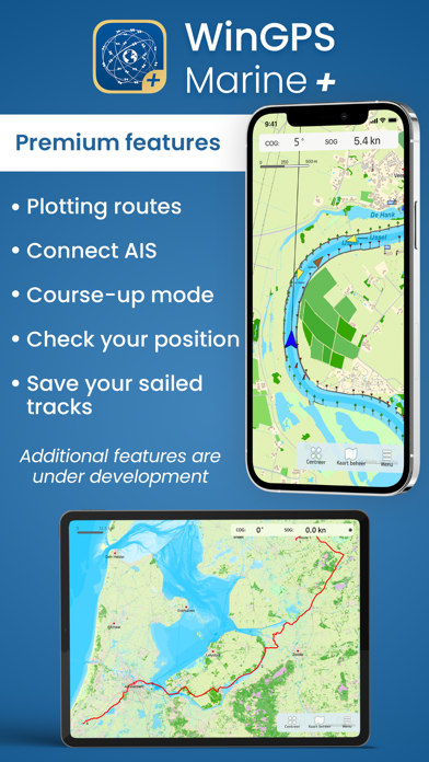
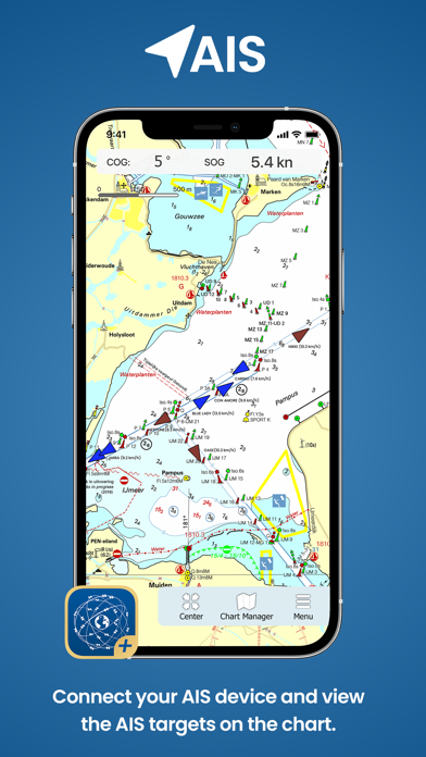
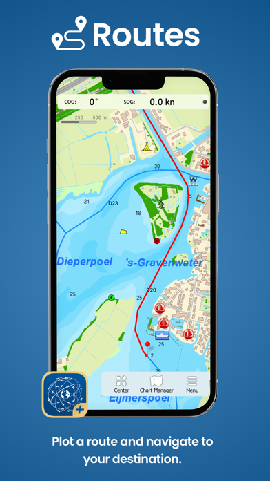
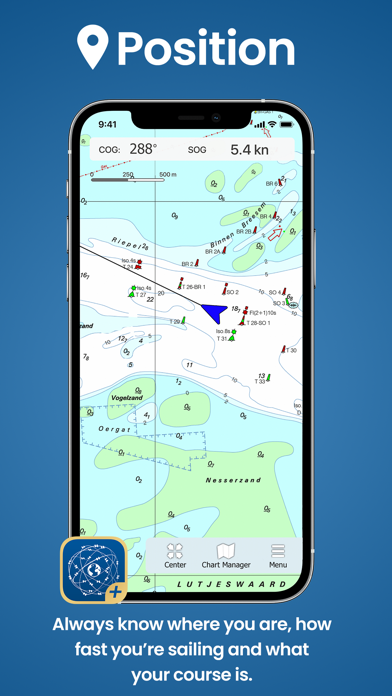
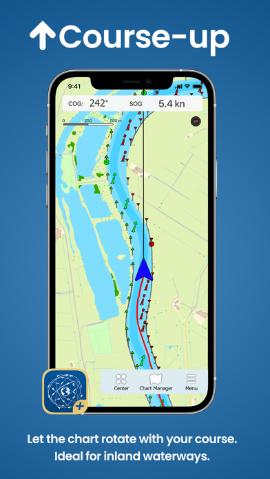
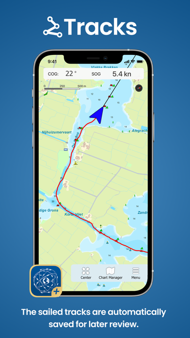
Ideal for navigation onboard of your sailing yacht, motorship, canoe or longboat: - Always know where you are, how fast you go and what your course is using a GPS receiver (internal or Bluetooth). - Download the chart of your sailing area and check the current depths, buoys and other nautical information. - Connect your AIS device and the AIS objects will be plotted on your chart. - Waterway network: View the information of the bridges, locks and waterways. - Set out a route on open waters, or plan an inland route over the waterway network taking the information of your ship and the bridges, locks and waterway into account. - Navigate along the route points to your destination using the course line, Course to Go and Distance to Go. - View and save your sailed track. More functionalities are in development, a.o. GRIB-files for weather forecast. The charts that can be used in this app, are Stentec’s own DKW-charts and can be found at www.stentec.com. For example the free chart DKW Frisian Lakes or the well-known DKW 1800-series for the Dutch coastal waters, including weekly update services. At the first start-up of the app, you will be asked to log in with your account. The free default online maps from Apple are available in the app for orientation. The DKW-charts of 2018 and newer, which are connected to your account, can be downloaded directly in this app and be used for navigation.
Screenshots