Starlink Satellite AR Tracker
Jorge Gregorio Martin Bello

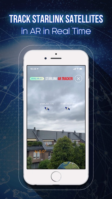
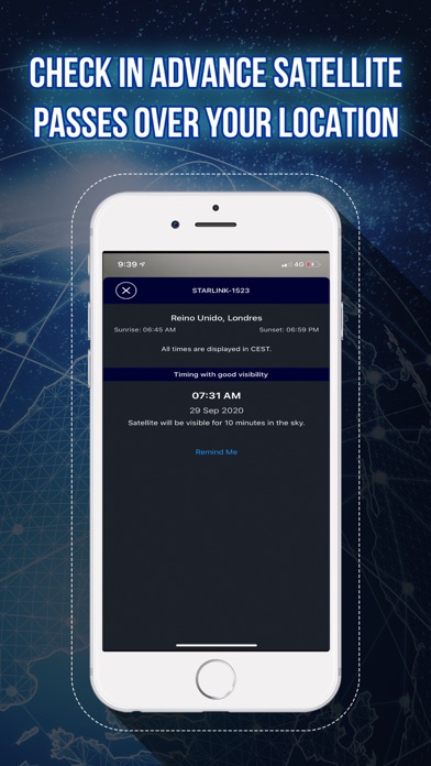
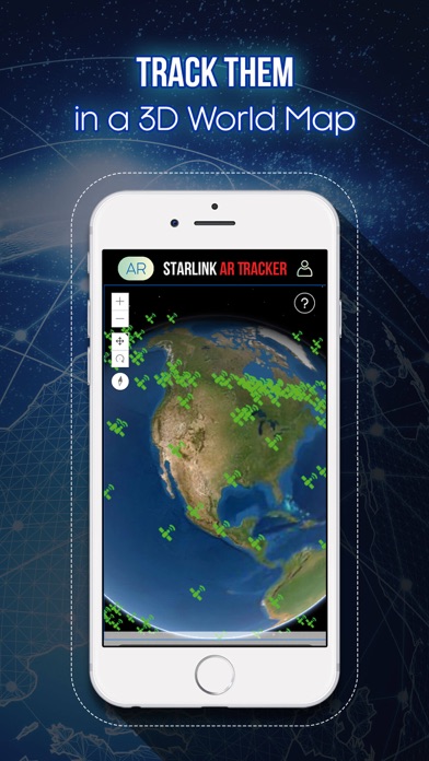
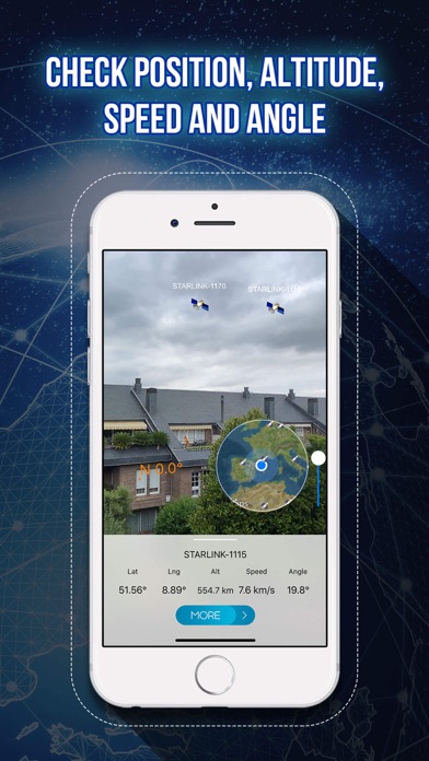
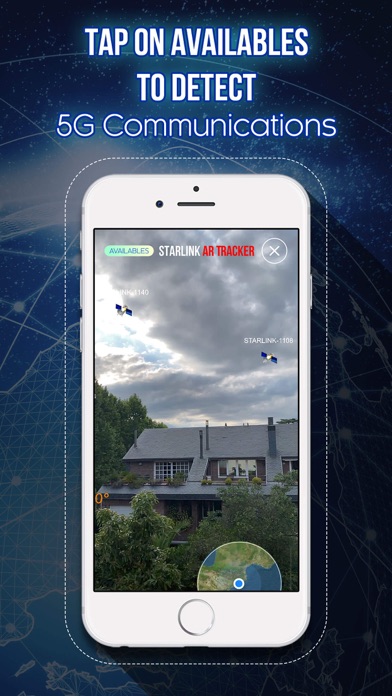
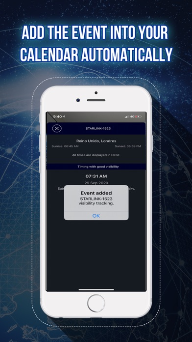
View in AR the Starlink Satellites that surrounds you. Discover in augmented reality the location of 5G satellites in real time. More than 1400 satellites are located about 320 miles high. And much more are prepared for launch in next months. You can check all of them around the Earth. Check them in Augmented Reality mode (subjective point of view) or 3D world map or in a 2D world map (objective point of view). Check the nearest satellite for your position. Press available button and check if the angle is higher than 35 degrees, then these satellites are ready to communicate with your device. It does not have to be night or day, you can see them at any time and you can see when they will be visible in your area. How does it works? Check the AR button and the camera will display your view. Move around with the device and watch the satellites and the direction towards they are moving. Check also the 5G satellites in 2D map and in 3D map around the Earth. Download now and enjoy!
Screenshots