PatchMap
Skybase Geomatic Solutions Inc.

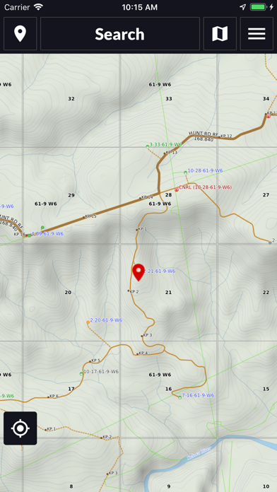
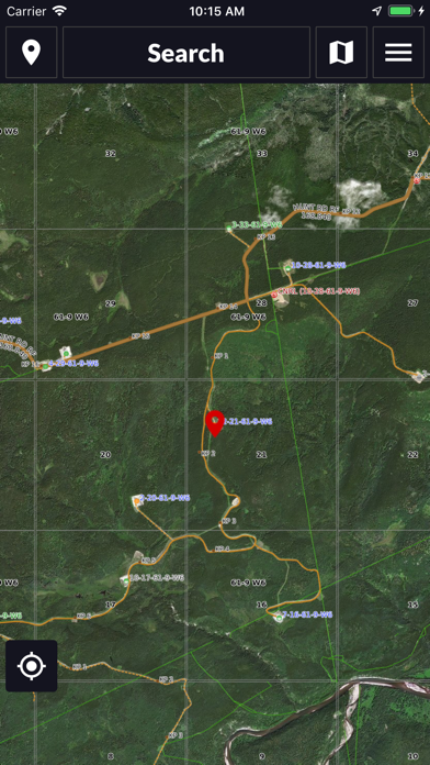
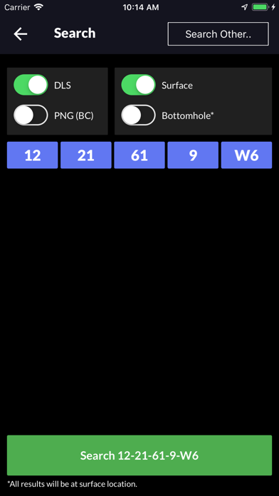
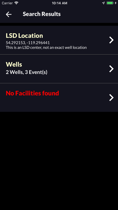
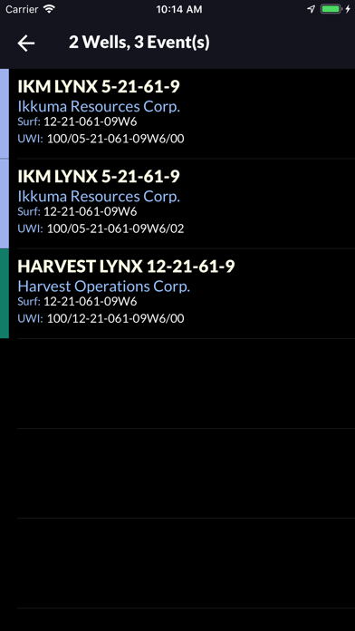
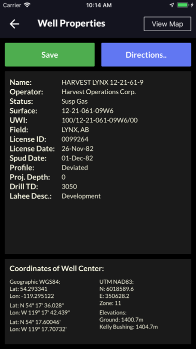
**This app requires a subscription - see details below PatchMap will find and navigate you to every LSD, Wellsite, or Facility in Alberta, Saskatchewan, Manitoba and British Columbia. Additional Features: -Choose from multiple map backgrounds including PatchMap, PatchMap Satellite, Google Satellite, Google Road Map, or Google Terrain. -Get Turn-by-Turn directions using the PatchMap road network or Google Maps. -Overlay optional map layers including Active Drilling Rigs, Highway Cameras, LSD Grid, Municipal Boundaries, Wildlife Management Units Boundaries, and Trapline Boundaries. -Search Wellsites, Facilities and LSDs in the DLS and PNG grid systems. -Search Wellsites by UWI. -Search facilities by Operator, Name, Legal Desc., License Number. -Search active Drilling Rigs. -Search civic addresses. -Locate nearest oilfield accommodation. -Get distance and navigate to nearest hospital. -Tap on wellsites, facilities and roads to retrieve attributes. -Record waypoints: Include comments, choose from various symbols, edit coordinates using multiple formats, show/hide waypoint symbols and labels on the map. -Get your current LSD location, and GPS coordinates in various formats. -Record Trip Logs -Manage waypoints and Trip Logs using the Waypoint and Trips manager. -Get the Legal Description (LSD) of your current position, by tapping on the red "vehicle" icon Paid Subscription Details: -Monthly Subscription -$9.99 per month -Free 7-Day trial, cancel within 7 days without charge. -Payment will be charged to iTunes Account at confirmation of purchase -Subscription automatically renews unless auto-renew is turned off at least 24 hours before the end of the current period -Account will be charged for renewal within 24 hours prior to the end of the current period, and identify the cost of the renewal. Privacy Policy: https://www.skybasews.ca/CSI/PrivacyPolicy_PatchMap.pdf Terms of Use: https://www.skybasews.ca/CSI/TermsOfUse_PatchMap.pdf
Screenshots