LidarCad
Svetlana Sandalova

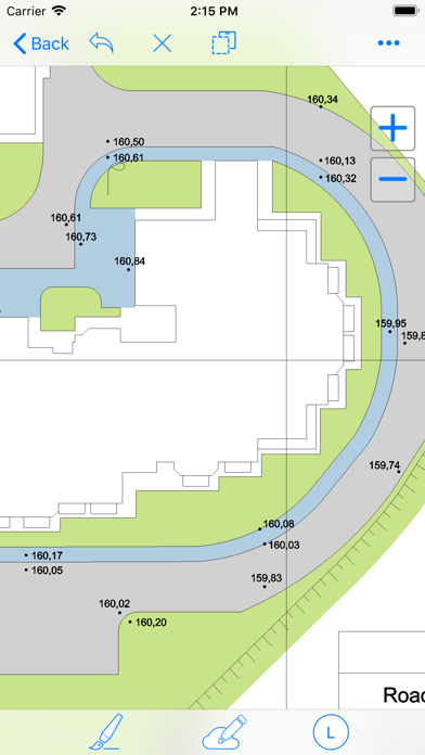
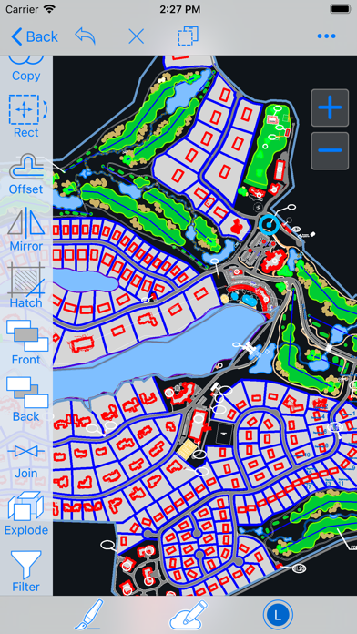
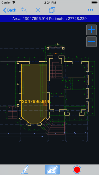
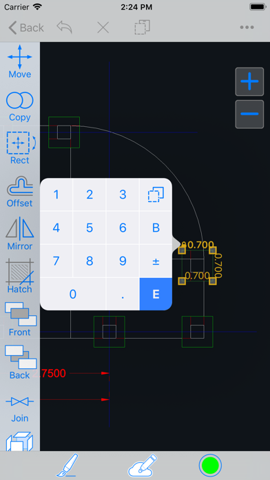
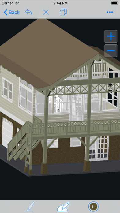
LidarCad combines CAD Editor and LiDAR Scanner into one Application. With LidarCad it is easy to estimate volumes of sand or gravel, capture point clouds, measure length, area and so on. LidarCad works with DWG/DXF files. Results can be exported to other popular formats. Scan functionality available on LiDAR-enabled devices. It includes: * Estimate cut/fill volumes using base plane * Estimate cut/fill using limited boundary * Capture point clouds * Add points with XYZ(WGS) coordinates * Define CS Origin for scan * Measure length/area Full description and manuals available on page: http://cadspace.xyz/Features/ CAD editor contains tools to create Drawings. It supports connection to your bluetooth rangefinder. Measurements transmitted directly to drawing, it is possible to set exact length for selected line, or add text with transmitted value. This is a list of supported devices: * Bosch GLM50C, GLM100C, GLM120C * Bosch PLR30C, PLR40C, PLR50C * Leica DISTO D110, D1, D2 * Leica DISTO D510, D810, S910 * Leica DISTO X3, D8 * Condtrol Vector Rangefinders For devices without LiDAR sensor full functional CAD editor available.
Screenshots