Wildfire - Fire Map Info
LW Brands, LLC

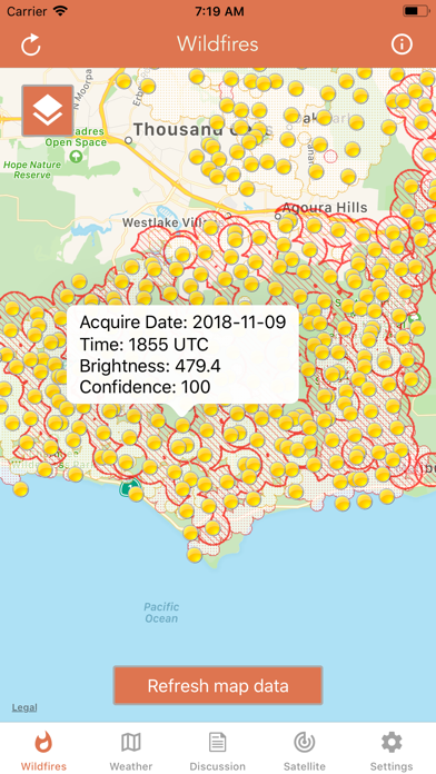
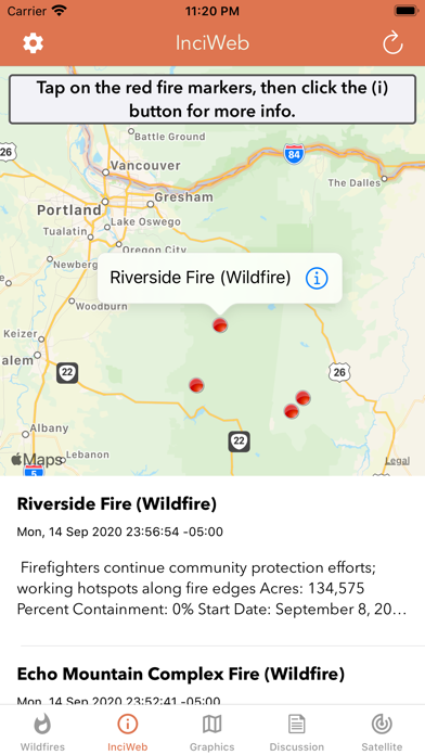
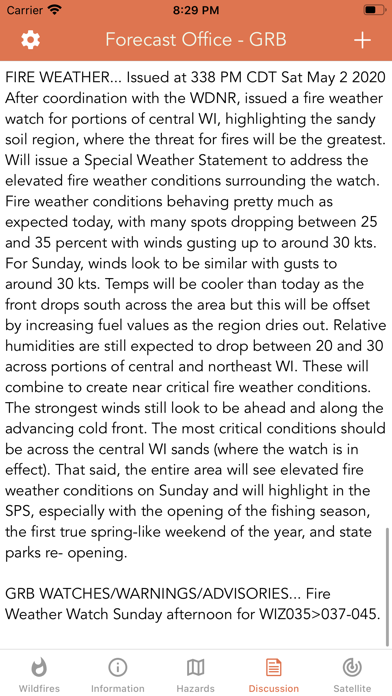
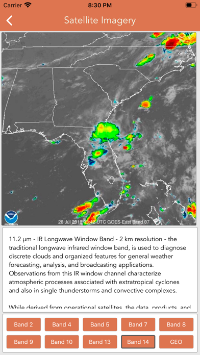
Download the most comprehensive Wildfire app for iOS. CURRENT WILDFIRES - MODIS Thermal Satellite Fire Detection - VIIRS IBAND Fire Detection - MODIS + VIIRS Spot Details - Fire Weather Outlook: Days 1 - 8 - Large Fire Points - Dry Thunderstorm Fire Weather Outlook - National Fire Incident Reports - Fire Potential Index: 7-day Forecast - Large Fire Probability - Fire Danger Rating - Expected Large Fires per PSA - National Significant Fire Outlook: 4-months - NFDRS Dead Fuel Moisture - US Drought Monitor & Index HAZARDOUS WILDFIRE CONDITION ZONES - Detailed NOAA discussion GOES-16 SATELLITE IMAGERY ANIMATIONS - Regional zones (CONUS) * Available for iPhone and iPad with single purchase * Feel free to contact me at mwnbdc@gmail.com if you have any questions. Enjoy.
Screenshots