UTM For Flight
Guy Fisher

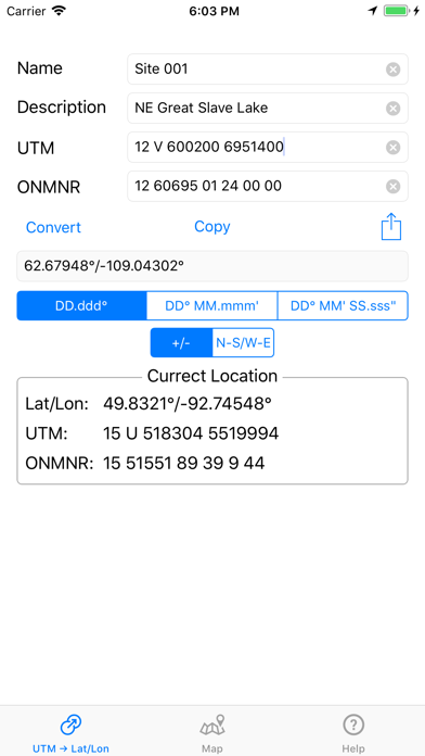
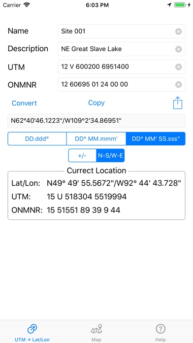
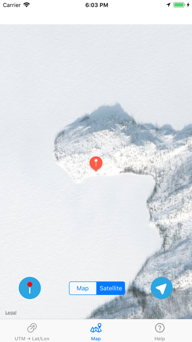
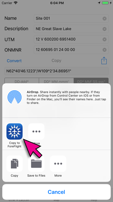
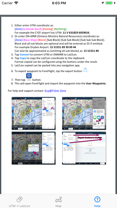
Designed as a companion app to ForeFlight. This utility converts UTM and ONMNR (Ontario Ministry Of Natural Resources) GPS coordinates to Lat/Lon (Latitude/Longitude) and then permits exporting the converted waypoint directly into ForeFlight user waypoints. ONMNR grid system is the standard used by pilots for forest fire suppression in Ontario. Converted waypoint can also be verified on the map within the app using either street map or satellite imagery. Displays Current location in all 3 formats: Lat/Lon, UTM and ONMNR. For help and support contact: Guy@Fisher.Zone
Developer website
https://apps.apple.com/us/developer/guy-fisher/id1241701166?uo=4Released
2017-06-02T22:41:05Z
Current version
1.12
Screenshots