New York State Roads
Coderun Technologies Ltd

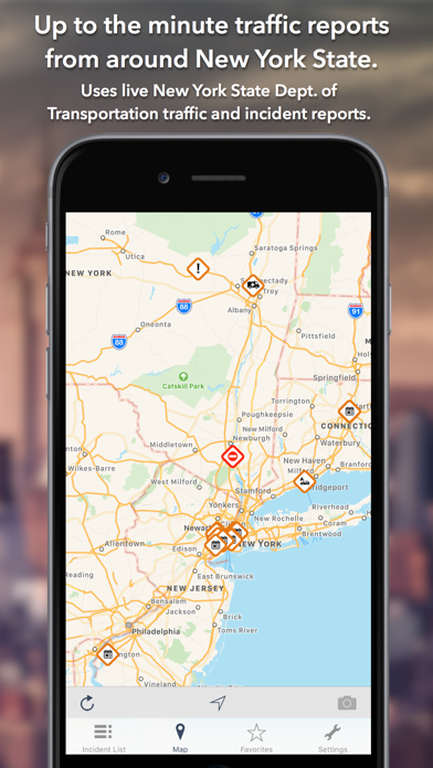
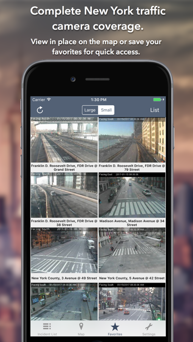
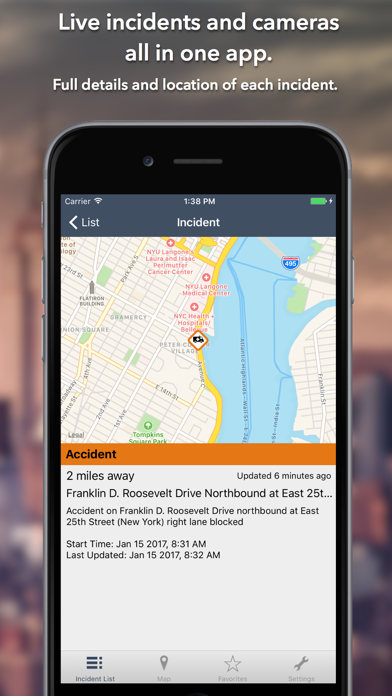
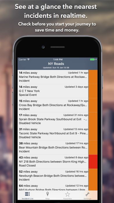
Live coverage of traffic incidents and cameras covering the entire state of New York. One time purchase, no subscription required. The app was updated December 2025. KEY FEATURES: Live data from The New York State Department of Transportation (NYSDOT): - 1,171 traffic cameras covering New York State. - Today screen widget to show at a glance the nearest current traffic incidents - Optimised for all iPhone and iPad models. MAP VIEW - Shows current incidents and traffic cams. - Each incident is color coded as well as being represented by an icon showing the incident type. - Clicking on an incident displays more detail right there on the map. - The map view can also show live traffic camera images. LIST VIEW - Shows current incidents in order of distance from your current location (closest incidents are shown first). - Each incident is color-coded to indicate the severity of the delay. - You can quickly see the distance the incident is from you, the road name and the type of incident. - The detail view shows the description together with a map showing the location. TRAFFIC CAM FAVORITES - Save your favorite cameras for quick access to see how clear/congested your usual routes are. TODAY WIDGET - Shows at a glance the nearest current traffic incidents without launching the app. PERSONALISE - Toggle traffic information on the map. - You can configure which incidents are displayed according to the severity of the delay caused. - Miles or KM setting. CONTACT - Email me for feature requests/bug reports etc. I would love to hear from you! Data courtesy of New York State Department of Transportation.
Screenshots