WeatherSatelliteMap
YI HAN TSAI

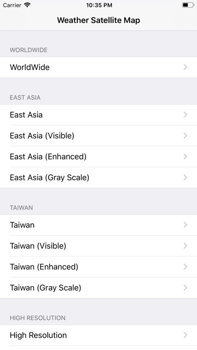
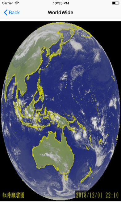
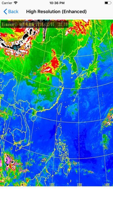
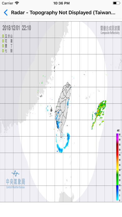
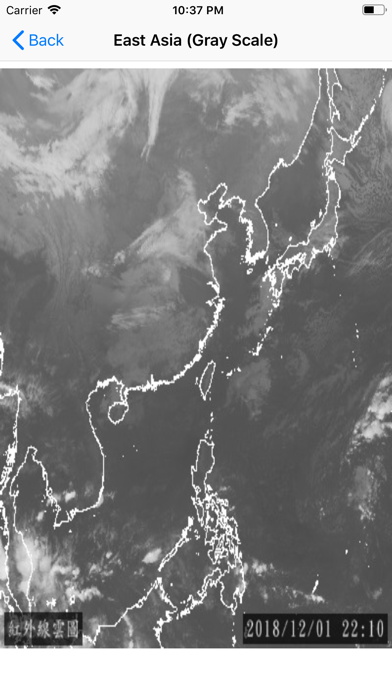
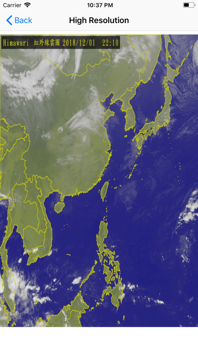
This app is an app that lets you browse satellite clouds images. This data of this app is taken from the opendata platform of Central Weather Bureau of Taiwan (http://opendata.cwb.gov.tw/index). This app only displays the function not storing pictures. Currently, users can view the following images which is provided by the weather bureau of Taiwan. WorldWide, Infrared Black and White- Global, Infrared Color Intensification- Global, Visible- Global, Full Resolution Infrared Black and White- Golbal, East Asia, Taiwan, True color Image, Taiwan (Visible), Taiwan (Enhanced), Taiwan (Gray Scale), High Resolution (Visible), High Resolution (Enhanced), High Resolution (Gray Scale), Radar (Topography Not Displayed (Taiwan Extended Domain)), Radar (Topography Displayed (Taiwan Extended Domain)), Radar (Topography Not Displayed (Taiwan Domain)), Radar (Topography Displayed (Taiwan Domain))
Screenshots