ALLMA 3Tre
Allma

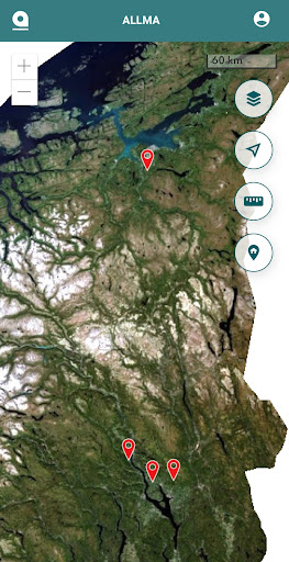
The ALLMA app is a map application that provides the forest owner with a digital forestry plan.
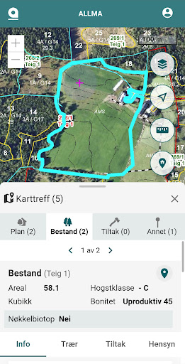
This version contains a new design and many, many useful functions for forestry. You can log in to ALLMA data for your forest property. You can activate the GPS to find out where you are in the terrain. You can click on stock to see details such as felling class, credit rating, volume and measures. All other objects in the same location are also identified. You then get all the information about, for example, key biotopes, cultural monuments, species maps, etc. There is a measuring tool to measure length and area.
There are several map types you can choose from.
The solution has been developed by AT Skog, Allskog and Glommen Mjøsen Skog. Order an ALLMA subscription and access to your forestry plan data at www.allma.no
Developer email
vakt@allma.no
Developer website
https://allma.no/supportCurrent version
1.5.0
Android version
10
Screenshots