OceanFishMap
OceanBytes Technology

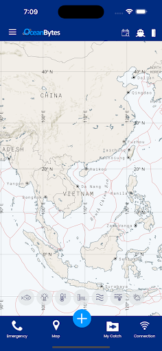
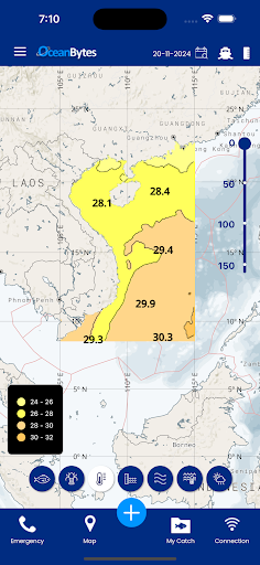
OceanBytes provides fishing boats Oceanographic data including fishing recommendations created by expert Oceanographers that helps the boats save time and fuel. The app also allows the boats to record and share catch information in addition to the ability to send SOS and emergency messages.
With OceanBytes you can:
Get daily updates of Sea Surface Temperature, Plankton, Sea Surface Height Anomaly and Surface Currents.
Get updated Fishing Recommendations twice a week.
Download and View the data offline.
See your vessel position on the map to find good fishing locations near you.
View course and distance to a location from your vessel.
Create fish catch reports for different species and share it.
Send different types of emergency messages.
Make your fishing operations more efficient with OceanBytes.
With OceanBytes you can:
Get daily updates of Sea Surface Temperature, Plankton, Sea Surface Height Anomaly and Surface Currents.
Get updated Fishing Recommendations twice a week.
Download and View the data offline.
See your vessel position on the map to find good fishing locations near you.
View course and distance to a location from your vessel.
Create fish catch reports for different species and share it.
Send different types of emergency messages.
Make your fishing operations more efficient with OceanBytes.
Developer email
sales@oceanbytes.com
Developer website
https://oceanbytes.com/Released
Apr 20, 2023
Current version
2.27
Android version
6.0
Screenshots